Address
8601 W Cross Dr. F5 #189 Littleton, CO 80123
Work Hours
Mon–Fri 08:00–18:00 (MT)
Sat 09:00–13:00 (MT)
Address
8601 W Cross Dr. F5 #189 Littleton, CO 80123
Work Hours
Mon–Fri 08:00–18:00 (MT)
Sat 09:00–13:00 (MT)

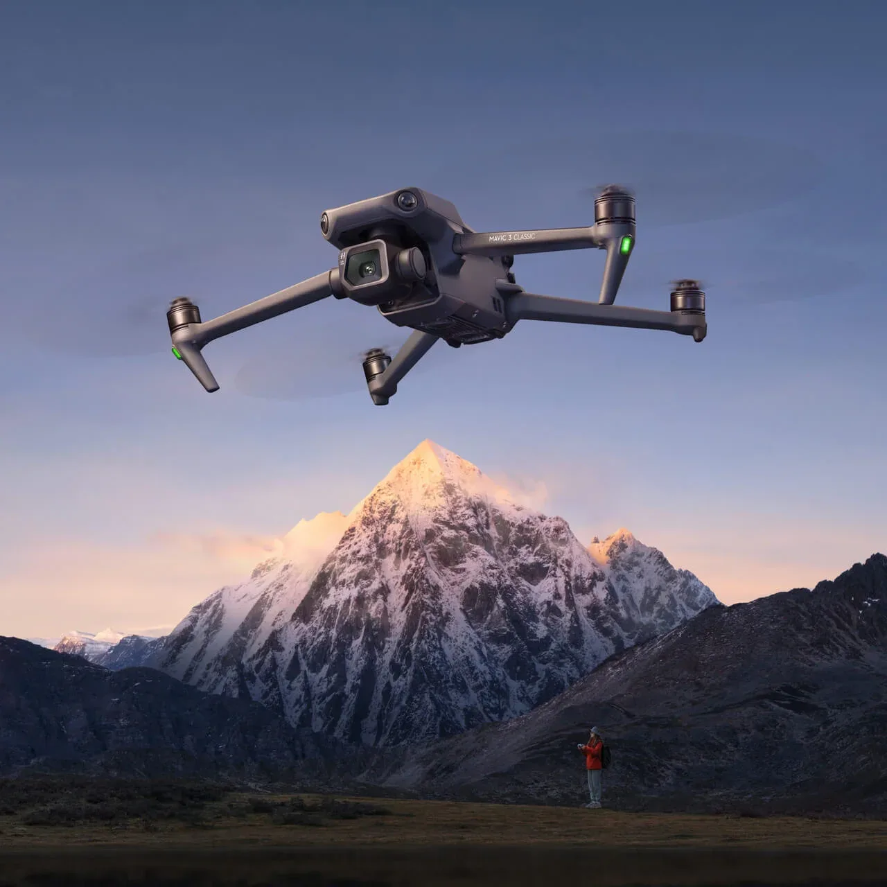
Thermal, RGB, multispectral and LiDAR configurations for agriculture, security, inspection and mapping — selected against endurance, wind and data requirements.
Radiometric thermal payloads for asset inspection, solar and electrical survey, and night operations.
Multispectral imaging and spray platforms for crop stress mapping, treatment planning and yield analysis.
Photogrammetry and LiDAR configurations with ground control and processing workflow.
Configurations are adapted to the environment, not sold as a single SKU. Tell us the site and we will specify the payload, endurance and data chain.
Send the application and environment; we will reply with platform options, payloads and lead times.