Address
8601 W Cross Dr. F5 #189 Littleton, CO 80123
Work Hours
Mon–Fri 08:00–18:00 (MT)
Sat 09:00–13:00 (MT)
Address
8601 W Cross Dr. F5 #189 Littleton, CO 80123
Work Hours
Mon–Fri 08:00–18:00 (MT)
Sat 09:00–13:00 (MT)

A compact thermal aircraft for inspection, agriculture and public-safety work. The 640×512 radiometric thermal camera and 4/3 CMOS wide camera share one gimbal, so visual and thermal evidence are captured on the same pass.
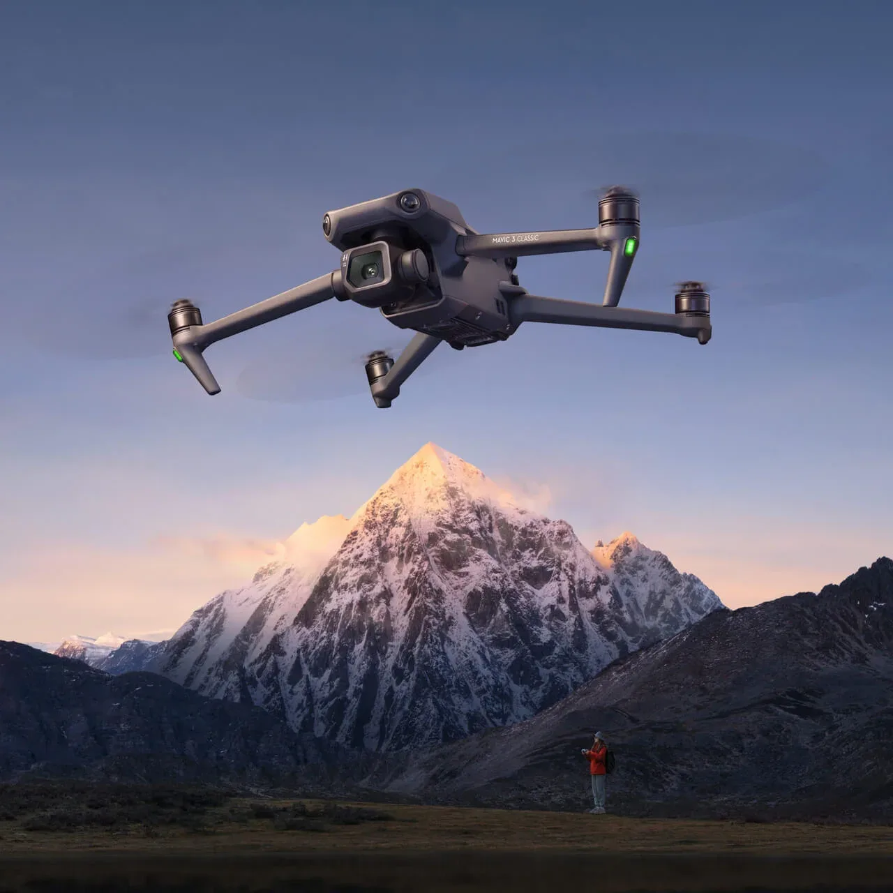
Configuration is confirmed per project — payload options, spares and training are quoted with the platform.
| Thermal sensor | 640 × 512 radiometric, 30 Hz |
|---|---|
| Wide camera | 4/3 CMOS, 20 MP |
| Flight time | Up to 45 minutes |
| Transmission | O3 Enterprise, up to 15 km |
| Ingress protection | IP55 |
| Weight | ≈ 920 g |
Tell us the application and volume — we will confirm the payload, documentation and lead time.